Potash Mountain: Lake Luzerne's Community Peak

A few years before the Revolutionary War, Ebenezer and Edward Jessup acquired the land that we today call Lake Luzerne, as well as Hadley, Corinth, Warrensburg, Thurman, Chestertown, and Johnsburg.
We don't know for a fact that they named Lake Luzerne's highest mountain "Potash Kettle," but it's possible. The Mohawks called it Senongewok which, according to a source found by Don Rittner, means "a hill like an inverted kettle." The Jessups acquired much of their land from Sir William Johnson and the Mohawks, with whom Johnson interacted as Superintendent of Indian Affairs.
You’ll find this postcard in the collection of the Frances G Kinnear Museum of Local History, home of the Hadley-Lake Luzerne Historical Society.
A potassium compound, potash was America's first industrial chemical, a good fertilizer for soil, a key ingredient in soap, and useful also in making glass, textiles, and ceramics. When the early settlers of Lake Luzerne cleared the land to create farms, they generated income by burning the logs and collecting the ashes. As explained in History of Warren County, New York:
The ashes were dumped into containers with water, and the lye, being soluble was leached out of the ashes. It was then boiled down to a solid mass of what was called "black salts," still containing impurities from the earth and carbonized material from the wood. This part of the process was usually carried out at home, it being an almost universal activity."
Access to the Summit

Gary Wayne Askins posted this recent photo on the Potash Mountain Facebook page.
Although the 1,751-foot summit of Potash Mountain is on state land, the public had no access to it until recently. Today, we all may hike a superbly groomed trail and enjoy Potash's vista of the Upper Hudson Valley north of Corinth, thanks to a community effort we can trace back to the early 1900s. That's when a Stony Creek-based farmer, logger and entrepreneur named Beecher Harris and his wife Laura acquired more than 1,000 acres of land along the Hudson, including Potash Mountain.
When Beecher and Laura passed in the 1960s, their son Loren and his wife Alice inherited the acreage and continued to manage it. They ran the Harris Grocery near Fourth Lake for a half-century before selling it in 2001 to Jim Mosher and his wife Becky, who became Alice's later-in-life caretakers.
When Loren Harris died in 1998, he left the land to Alice, who sold off most of the parcels, with the proceeds funding the Alice Harris Charitable Trust. When she died in 2007, she left 112 acres for what we now call the Harris Land Preserve. Today, Mosher chairs the board of the non-profit that manages the preserve, while Becky sits on the committee that awards graduates of Hadley-Luzerne High School scholarships funded by Alice's estate.
The Warren County Planning Department secured a $105,000 state grant to fund the installation of a one-mile nature trail by Wilderness Property Management, Steve Ovitt's trail-building operation. That work included the construction of an open-air pavilion where the Hadley-Luzerne school district hosts educational programs.
By donating 6.6 acres to the project, Rich and Linda Sehlmeyer made it possible to connect Alice's property to the state DEC land on which Potash's summit sits.
Volunteer Trail-Building
A team of volunteers led by Jim Mosher and Steve Mackey, owner of Lake Luzerne's other grocery and an inexhaustible hiker and trail-builder, started building the loop trail, which approaches the forested summit via an outlook that offers impressive southwestern views of Fourth Lake, the Hudson, and many southern Adirondack peaks.
In the end, they installed at least 300 stone steps, "which are important to prevent the trail's erosion into a muddy ditch or, even worse, a stream," says Mackey.
Mackey's favorite tool is a six-foot steel bar by which he can pry rocks out of the ground and, with its leverage, move them, preferably downhill. "You want the biggest rocks you can handle without injuring yourself," he says.
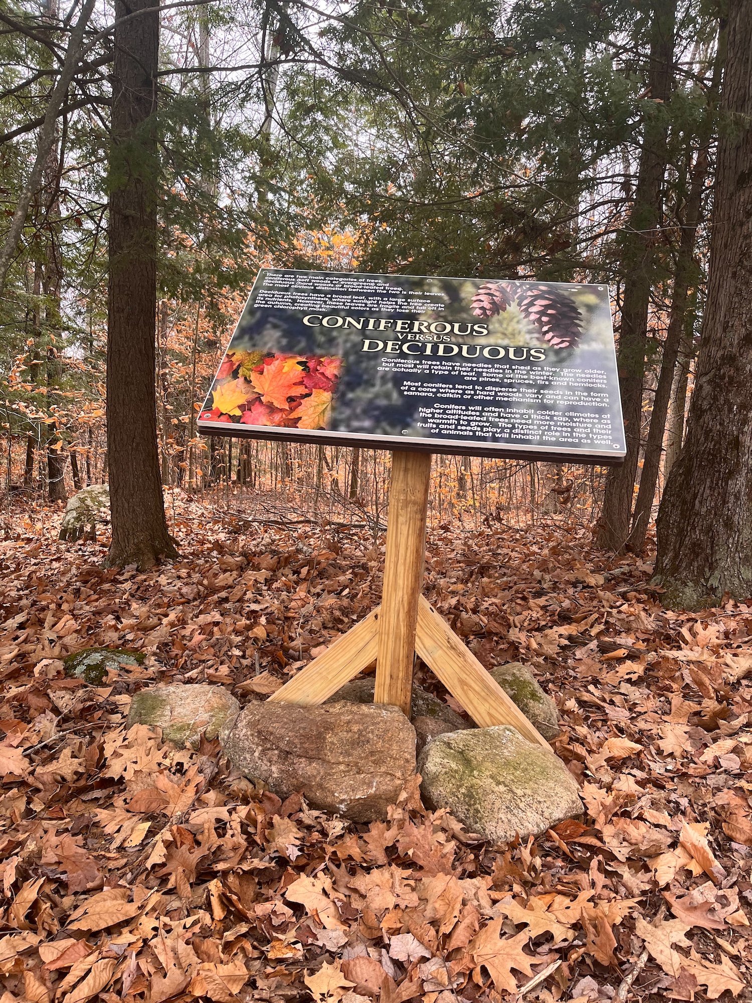
They continue to develop the nature trail, recently installing on the nature trail three big signs and a dozen QR signs with future Eagle Scout Anthony Halliday. “It really came out great,” says Mackey.
With all of the stone he and Mosher have built into the trail, "It should last forever," says Mackey. "We like to think we've created the 'Best Trail in the Adirondacks.'"
It’s a trail to be enjoyed in any season. See this map that was just updated by the Warren County Department of Planning and Community Development.

Steve Mackey

Jim Mosher

A long staircase, one of many
A new sign on the nature trail