Warren County’s First People
To begin, we imagine the Adirondacks' first humans.
That means going back 13,000 years to the treeless tundra that remained as the great Laurentide Ice Sheet retreated. Saltwater from the Atlantic flowed into this compressed land via the channel of the St. Lawrence River valley and combined with fresh meltwater to create the brackish Champlain Sea, which geophysicist Erik Ivins estimates was the size of today's Lake Michigan at its peak.
NASA provides this rendering of the Champlain Sea 11,500 years ago. On the northern shore of the Champlain Sea, we would have seen towering cliffs of ice with huge icebergs cleaving and plunging into the sea. We would have heard the bellows of walruses.

In blue, we see the outline of Lake Champlain today. Outlined in green, we see the reach of the Champlain Sea as it existed 10,500 years ago. An extension of the Atlantic Ocean, the Champlain Sea was approximately the size of Lake Michigan.
On its southern shore, we would have found marshy tundra and forests -- and early people we call "Paleo-Indians."
Who were they?
"Most of the evidence shows that they were Asians who migrated from Siberia across the land bridge at the Bering Strait or came down the West Coast on boats, possibly into Mexico, and then migrated to New York State," says Don Rittner, Executive Director of the Warren County Historical Society and an archaeologist with a special interest in the Adirondacks and Hudson River Corridor.
"There were there were several waves of migrations, and those who came here probably were in the last. Most of the evidence now is that they crossed the Bering Land Bridge, which would have connected Asia to North America when much of the ocean was locked up in ice."
"Their genetic makeup is a close match with Siberians and Mongolians," writes Russell Shorto in The Island at the Center of the World. "They spread out thinly across the incomprehensible vastness of the American continents to create a linguistic richness unparalleled in human history: it has been estimated that at the moment Columbus arrived in the New World twenty-five percent of all human languages were North American Indian."
The Champlain Sea existed for about 2,500 years. It might still be with us today if the Earth's crust weren't spongy, sitting on a layer of slow-flowing, partially molten rock called the "asthenosphere." This is the rich source of magma that lubricates the undersides of Earth's tectonic plates and enables them to move.
Picture the weight of a mile-thick sheet of ice sitting on an enormous air mattress. Now imagine all of that ice melting and receding to the shore of Maine and Massachusetts. Between 12,000 and 8,000 years ago, the land rose five to eight times faster than sea level, and this rising cut off the young Champlain Sea from the Atlantic Ocean, and it slowly began to disappear, leaving behind a series of freshwater lakes, most of which have dried up. One large relic persists to this day as Lake Champlain
This process, which scientists call glacial isostatic adjustment, is still underway and probably will continue for tens of thousands of years, though at a slower rate, most scientists believe. No one knew anything about it until 1849, when a Vermont farmer named John Thorp discovered the bones of a beluga whale unearthed by railroad workers in a swampy area northwest of Mount Philo in Charlotte, Vermont.
Jeff Howe, the former curator and exhibits designer of the University of Vermont's Perkins Geology Museum, tells the story in a book he published in 2014, How Do You Get a Whale in Vermont?: The Unlikely Story of Vermont’s State Fossil.
At first, the workmen figured the bones must have been those of some type of horse, so they kept digging, shattering much of the skull and carrying pieces away with the removed dirt. That's when Thorp, a local resident, happened on the site and recognized the bones to be those of an animal not often seen in 19th century Vermont. At that point, the men stopped digging and a naturalist from the University of Vermont was summoned.
In two trips to the site, Zadock Thompson removed the bones from the dense blue-grey clay in which it was embedded and collected bone fragments from the piles of discarded dirt. He then took them back to his laboratory and reconstructed the skeleton. It can still be seen at UVM's Perkins Museum of Geology in Delehanty Hall, housed in the original oak and glass case built for it before the turn of the century.
Connecting History with Places
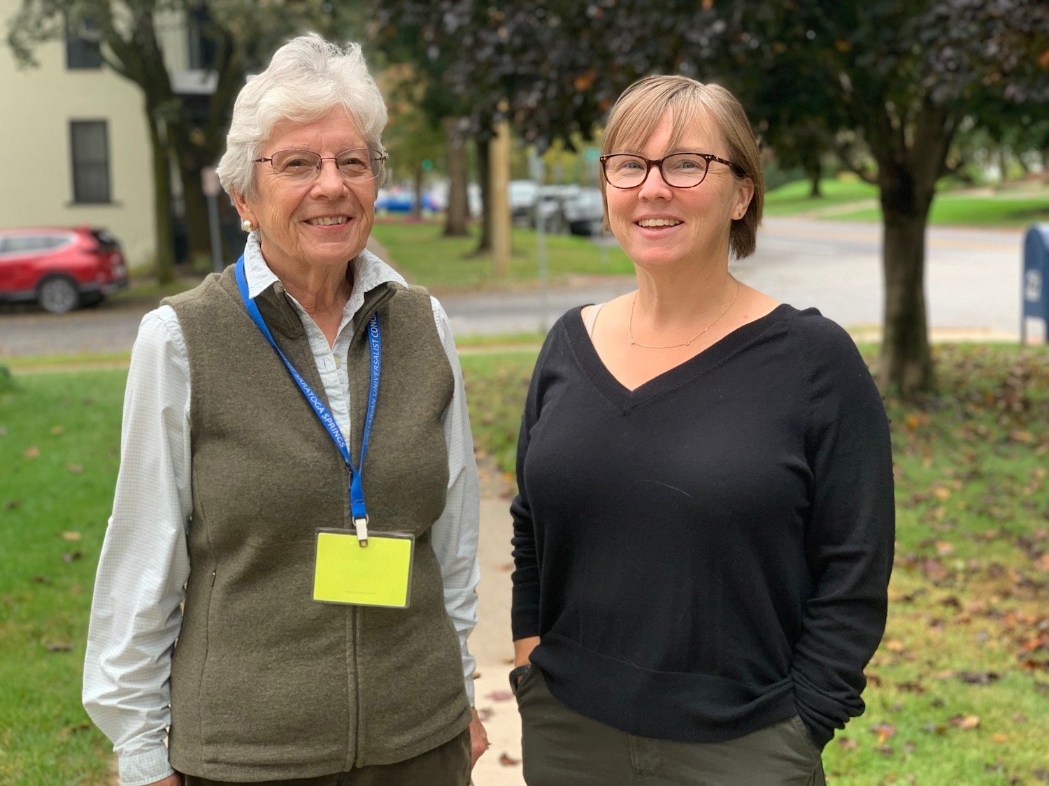
Susan Bender (left) and Siobhan Hart
Since January, we’ve been exploring how best to develop an ArcGIS StoryMap that tells the story of Warren County's Indigenous inhabitants. There are many layers in the historical record, and many perspectives that must be explored and accurately represented. History here is a process of consensus-building. Using Zoom and Basecamp, we aim to support an inclusive conversation.
As part of our observation of Indigenous People’s Day, we sat down with Skidmore College anthropologists Susan Bender and Siobhan Hart to share where we're going with the project and get their input going forward. We appreciated Skidmore junior's Dominic Giordano’s contributions in research and the transcription and editing of interviews. You’ll find the entire video of our conversation here.
To begin, we asked each to reflect on what Indigenous People’s Day means to them.
“I recognize my position as a settler and the complex history of archaeology with Indigenous communities,” said Professor Hart. “We must strive to be ‘bad settlers’ – challenging colonial perspectives, understanding our histories, and promoting meaningful change. This day emerged as an indigenous response to the 500th anniversary of Columbus's arrival.”
“I belong to a different archaeological generation,” Professor Bender added. “Earlier, we primarily focused on the past, overlooking connections with contemporary indigenous populations. Indigenous People's Day reminds me of the discipline's shortcomings and my personal growth within it. I now emphasize public education, highlighting the rich history and significance of indigenous communities in our nation's story.”
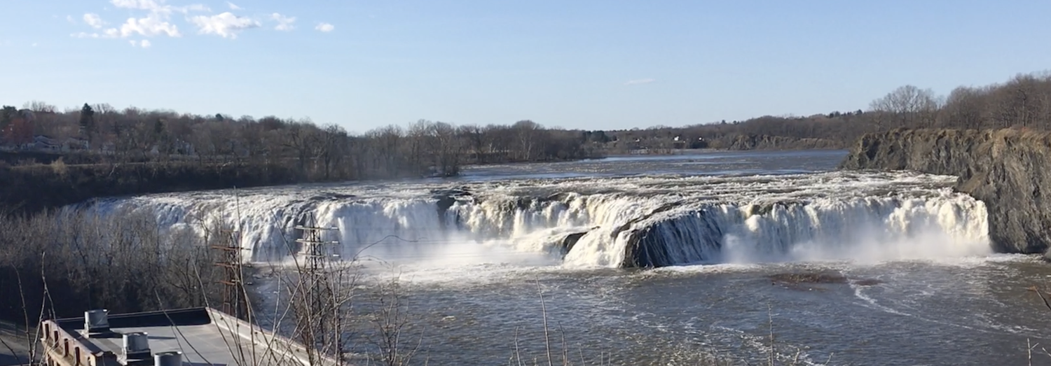
Achieving historical accuracy in our StoryMap will be a challenge because European narratives about the Iroquois are far more prevalent and dominant than narratives about the Mohicans, says Professor Bender. That will make it challenging to tell the story of a place like Cohoes Falls, which the Mohicans claimed before the Iroquois.
‘Persistent Places’
Professor Bender raised the idea of "persistent places," which ties in nicely with our focus in producing Stories from Open Space and Explore Warren County.
BENDER: Melissa Otis, author of Rural Indigenousness, also talks about "locations of exchange." From a western perspective, we understand the landscape as being divided into territories with drawn boundaries around them and a connotation of ownership by some entity. We think of these as domains with clear boundaries.
Indigenous people interacted with the landscape in very different ways, While they had homelands or recognized territories, these are more fuzzy bounded territories through which people moved as they pursued their seasonal economic activities. And within these movements, there were places that had specific meaning, often visited not just by one tribe, band or ethnic entity, but by multiple ones. They all had stories around these places. These stories created a relationship between the people and the landscape they considered their homeland, the land upon which they depended and with which they had many kinds of reciprocal relationships. So, I think of “persistent places” as points on a landscape that had particular significance and meaning and were often visited by one or more ethnic groups.
HART: We should think of these places as being part of very complex and extended networks of footpaths, waterways, fishing sites, resource locations like groves of nut trees and fields, grazing areas, wetlands, shellfish collecting places, and beaches, and living sites, all being part of that much larger interconnected network of places. Within those places you have places where the remains of ancestors are put to rest or where ceremony takes place. And those kinds of places may or may not have material evidence. As archaeologists, our attention is to the places where there is material evidence, where there are artifacts and other evidence of things that people did in the past. But those places that have that material evidence are not the only places within homelands that are significant places. It's important to think of these places that are less visible materially but still very much part of this larger network of important places spiritually, symbolically, economically, culturally, and politically.
Places can accumulate meaning and significance over time, and that meaning may extend beyond an actual residency. In the Northeast, we have a long history of the diaspora of Indigenous communities and colonialism as a force that removed indigenous peoples from these homelands. That removal doesn't mean that the places have lost meaning and connection to contemporary Indigenous communities. Melissa Otis offers us the Indigenous idea and practice of people caring for the land as opposed to the land belonging to people. We need to shift our colonized thinking to recognize that relationship of care.
BENDER: You can populate a landscape with a history that includes Indigenous experience in that area. There are lots of directions in Rural Indigenousness that could take you to places that would do that. Homesteads of indigenous people in areas where they lived, for instance. Even if the homes are no longer there, there's still an opening to talk about Indigenous people's experience on this landscape.
Relations with Early Europeans
BENDER: European narratives about the Iroquois are far more prevalent and dominant than narratives about the Mohicans. The Iroquois were organized in a way that was more comprehensible and apparent to the early European settlers. Particularly in this part of New York State, you're in a borderland area where the colonists are in fact interacting with the two different populations. The Europeans regard the Iroquois as more powerful, so their terminology gets adopted and their rituals are what gets incorporated in exchanges in the early colonial period. That's one of the ways in which Mohican history has been, if you will, lost, even though we know we were in Mohican territory here.
Although we often group the Iroquois and Mohican under the same umbrella, their languages belong to different families, and they don't share a common ancestral language. This linguistic divide mirrors cultural differences between them. However, it's essential to note the considerable exchange and shared aspects of their cultures, evident in archaeological findings.
The Iroquois primarily resided west of Schenectady, known for their fortified settlements and longhouses that sheltered matrilineally related families. These people practiced intensive agriculture, though they also supplemented their diet with wild foods. About a thousand years ago, five or six Iroquois-speaking tribes formed the Iroquois Confederacy, resembling a federal governance system, to establish alliances and occasionally expand territories. In contrast, Algonquian speakers, including the Mohican, practiced less intensive agriculture. They usually lived in smaller settlements and relocated more frequently. The Mohican were just one of several Algonquian groups, with others like the Lanark or Lenape situated to the south.
HART: These distinctions in subsistence, settlement, and societal organization affected how early Europeans perceived them. Europeans more easily understood the Iroquois due to their clearer social structures. In contrast, the mobile lifestyles of the Algonquians, marked by seasonal relocations, made them appear "nomadic" to Europeans, leading to misinterpretations of their culture and societal organization.
Narratives of High Rock Spring

There’s no evidence in the historical record to support this account on the marker at High Rock Springs. It’s a “fabricated mythological story” that illustrates one of the challenges we face in creating our StoryMap, says Professor Bender.
BENDER: High Rock Park is a case in point that illustrates the challenges we encounter in writing our short histories about contested place. Many of us know the story that's been handed down about the Iroquois bringing Sir William Johnson here for the healing waters. There's no evidence in Johnson's diaries that this ever happened. And we know this was Algonquian/Mohican territory up until the perturbations brought on by the European settlement and the beginning of trade.
So it's a fabricated mythological story. Its underpinnings are particularly detrimental to our understanding of Indigenous/white contact because they promote the myth of white settlers being invited into the area and suggesting that there was a kind of seamless transition as colonial settlers arrive in the area and that the land was just kind of given over to them. But that's just so patently not the case. Some of the relationships were amicable, but there was a contested and tense relationship as well.
HART: Places accumulate layers of meaning over time. It's not about one correct story but multiple overlapping narratives. Indigenous discussions around sites like Saratoga's Mineral Springs don't claim exclusivity but recognize shared importance. Problems arise when one narrative is immortalized, sidelining others.